Drowning in data yet starving for insight?
You've got petabytes of information scattered across systems, teams and suppliers—but the connections that matter most remain hidden. When every decision counts, you need the complete picture.
About SURROUND Australia
We transform complex and disconnected
information into clear and actionable intelligence
Data is the lifeblood of every modern enterprise, yet fragmented or poor-quality data leads to costly decisions. For over 10 years, SURROUND has been at the forefront of data management, data science, and meta-reasoning. Led by CEO Dr. Brad McCusker, with 30+ years of global expertise in data science and knowledge management, we transform disconnected data into trusted intelligence using AI, interoperability, and advanced analytics. We empower organisations to act faster, smarter, and with confidence in complex, high-stake environments.
The Connected Data Journey
From poor quality, unstructured data to high quality, connected data, SURROUND organises, connects and enhances data, every step of the way.
Discovery
Provenance
Data
Harmonisation
Interoperability
Tagging
Our Technology
For over a decade, SURROUND has transformed siloed, fragmented, and unstructured data into a single trusted source of truth. Using open standards, interoperability, AI, and advanced data technologies, we connect disparate systems and turn complexity into actionable intelligence.
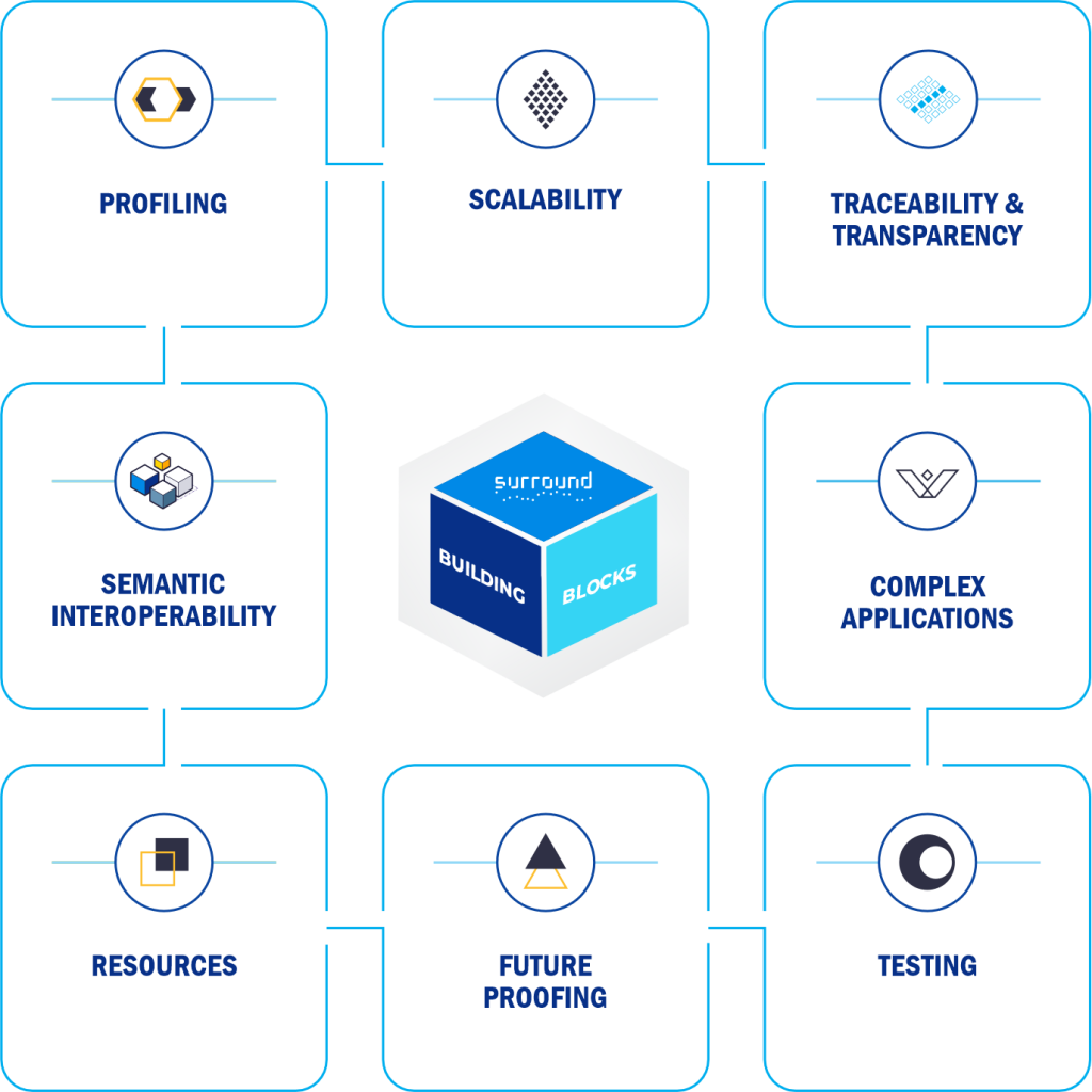
Interoperability Framework
System of systems data reference model using open global standards
SURROUND enables organisations, systems, and applications to seamlessly connect, exchange, and analyse enterprise data regardless of source, schema, or format. Built on globally recognised Open Geospatial Consortium standards, our interoperability framework supports FAIR principles—ensuring data is findable, accessible, interoperable,
reusable, trusted, and transparent.
Knowledge Graphs
A natural data ontology with the capability to harmonise and integrate data at scale
The enterprise-scale SURROUND Knowledge Graph platform connects, integrates and organises data from multiple sources to rapidly build scalable knowledge graphs. It makes data accessible across the organisation, enabling iterative modeling for new analytical use cases. Its in-memory graph engine combines graph algorithms, data science and OLAP analytics in a single query, while no-code query generation lets non-technical users solve complex analytics problems at scale.
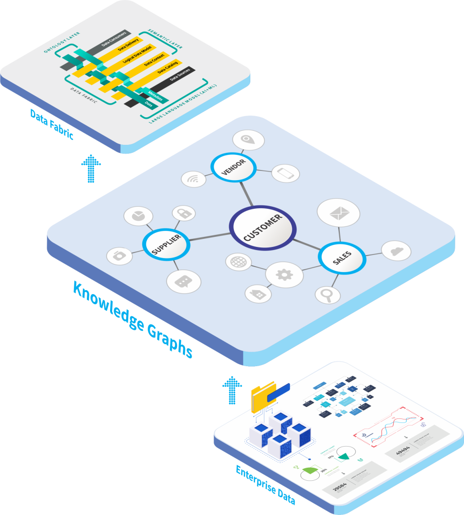
Data Fabric Technology
Catalogue, search, enhance all of your data assets without re-organising them
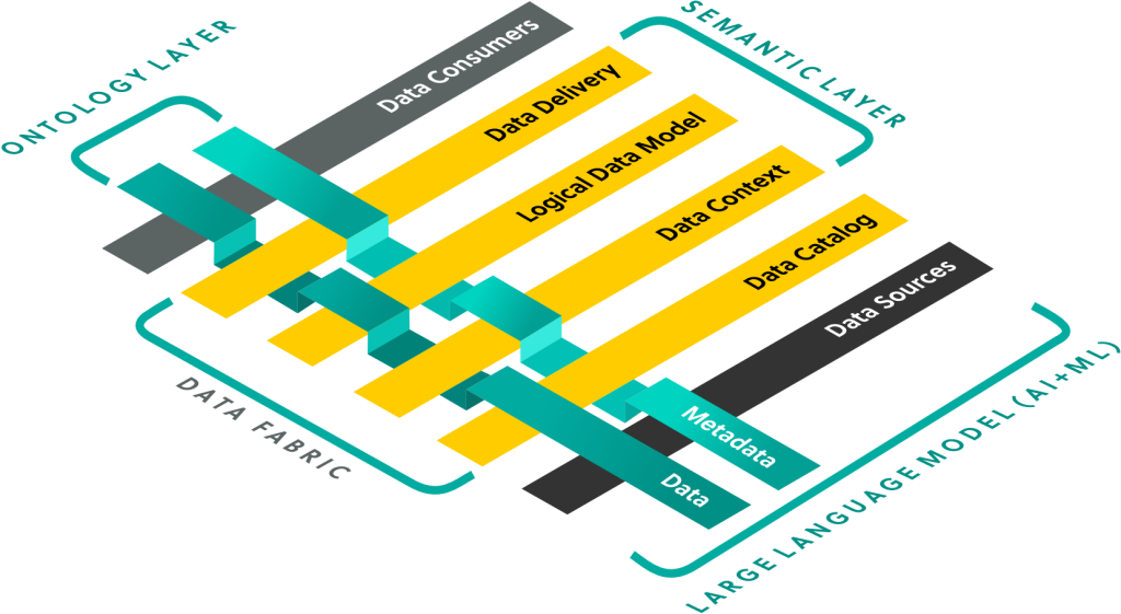
The SURROUND Data Fabric enables enterprises to find, access, integrate and share data across distributed data assets. Operating at the metadata layer, it connects transactional and analytical systems without moving or exporting data. Using semantic interoperability and ontology, it adds meaning, context and relationships while cataloguing, searching and unifying information assets into a seamless data inventory.
Prescient 4D Geospatial Platform
Mitigate risk and build confidence with our ‘Know-B4-U-Goʼ capability
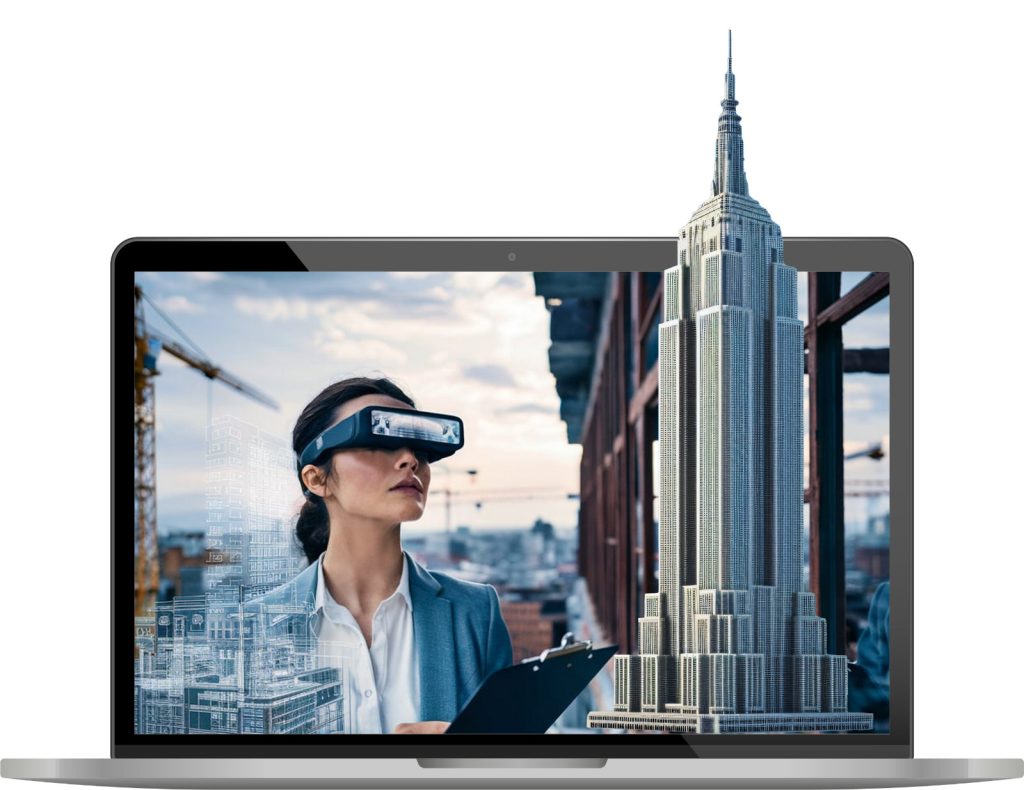
SURROUNDʼs 4D geospatial data management platform makes large-scale geospatial data (satellite, LiDAR, imagery and bathymetry), accessible, searchable and actionable. It overcomes legacy GIS limitations by unifying complex, fragmented data in a high-speed, interoperable platform. Predictive algorithms track changes over time, creating a 4D view (3D+time) to analyse land use, environmental and geotechnical risk, etc. now and into the future.
Observability
Semantics & Ontology

Deterministic Reasoning

Natural Language Processing

Digital Twins
Probabilistic Reasoning
 (Case Study)
SURROUND and Accenture have joined
hands to deliver WA’s digital twin
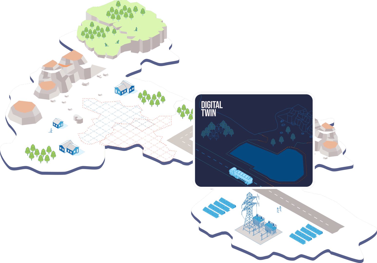
Spatial digital twin technology is a leading geospatial platform used globally across sectors. SURROUND and Accenture were awarded the contract for the Next Generation Spatial Cadastre (NGSC) component of Western Australiaʼs Advanced Spatial Digital Twin.
SURROUND and Accenture are transforming and democratising cadastral data management with interoperable solutions for digital transformation. Combining SURROUNDʼs 3D and 4D cadastral expertise with Accentureʼs industry knowledge, they deliver advanced user experiences for surveyors and AI systems.
INTEROPERABLE
DATA
SPATIAL
CADASTRE

KNOWLEDGE
MANAGEMENT
Our Clients











Industry Solutions
Geoscience Applications
Military Platforms
Agritech Systems
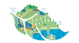
Decarbonisation Strategy

Healthcare AI
Emergency Services
Addressing Systems

Internet of Things
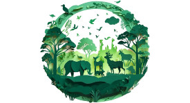
Biodiversity Repository

Land Information Systems

Environmental AI

ESG Compliance
Drawing on a decade of R&D, we equip you to make confident, real-time decisions grounded in trusted evidence, analysis and intelligence.”
Dr Brad McCusker (CEO)
Chat with Brad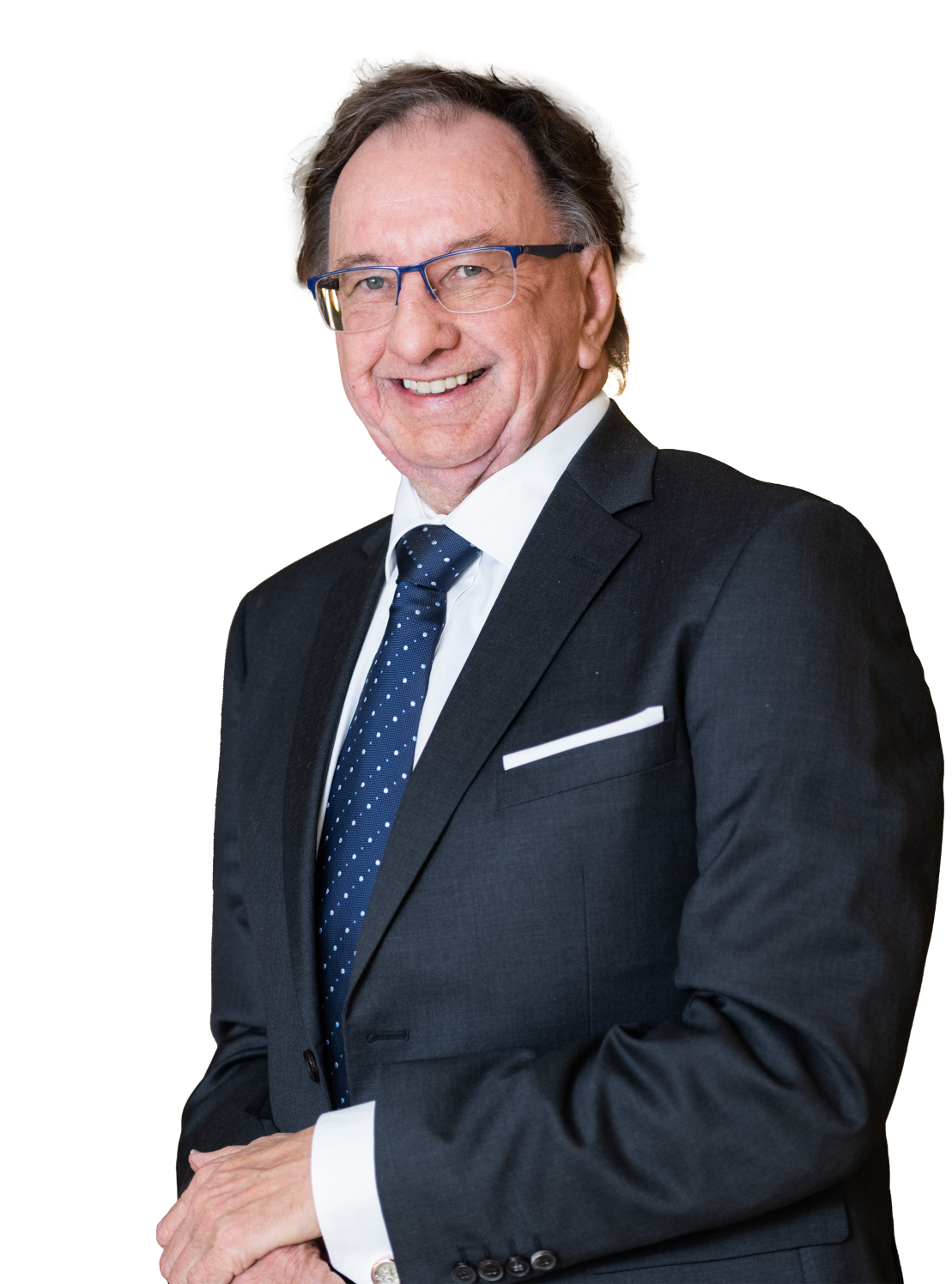

Research
SURROUND is an R&D led, A.I. and data solutions company
We are very proud to be collaborate with Australiaʼs leading research universities. We are constantly innovating and enriching our solutions and strengthening our product IP. Our PHD student program engages both students and faculty on cutting edge new projects such as a new framework for interoperability, indigenous learning, Scope 3 carbon emissions and a unique co-designed decarbonization lab.

SURROUND
Careers
At SURROUND we believe in pushing the boundaries of whats possible, known and unknown. Our vision is to leverage new and emerging technology to usher in meaningful change and help our clients solve some of the most challenging problems of our time. If this is a mission that interests you please give us a call. Weʼd love to hear from you.